GPS for Mariners Seminar
Program Description
This is a three hour hands-on presentation for graduates of our About Boating Safely programs.
It builds upon what you learned in the About Boating Safely, and expands on the the
principals of navigation and on how to understand and use a Nautical Chart.
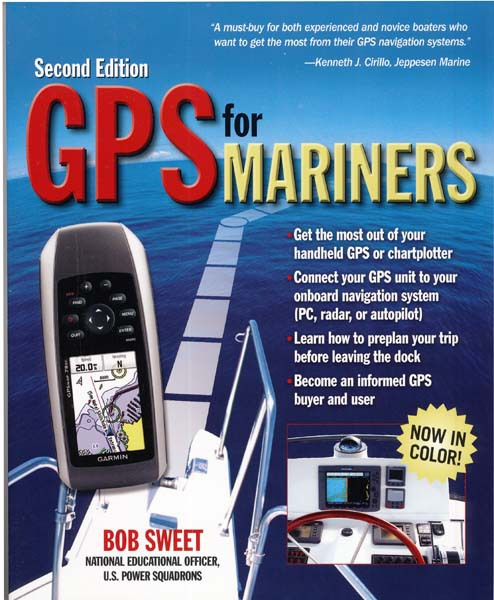
GPS for Mariners (GPSFM) is a modern learning experience that focuses on the GPS equipment typically owned by the recreational boater.
This course is the result of an exciting synergy between textbook's publisher, the book's author, and the Auxiliary.
This class is so effective that even those not possessing Chart Plotters will learn how to use one for practical recreational boating.
The principals you will learn will enable you to understand your GPS or Chart Plotter.
 Topics Covered
• GPS Navigation Basics
• GPS Waypoint Navigation
• Route Planing
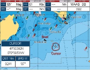
• Chartplotting
• Navigation Software Systems
• Reading the Nautical Chart
• We will use a local chart to plan a trip
• Understanding Latitude and Longitude
• Finding Latitude and Longitude
• Distance, Speed and Time Calculations
For further information or to register:
Please contact: Henry Cespedes
email: hcespedes8531@gmail.com
or telephone: 305-519-4610
Register now - Boating Safety Course Online Registration
Request Additional Information
 Class Schedule